Layers let you see live weather, fire hydrant locations, and more, right in the Tango Tango app, alongside your location and the locations of your teammates.
Viewing layers
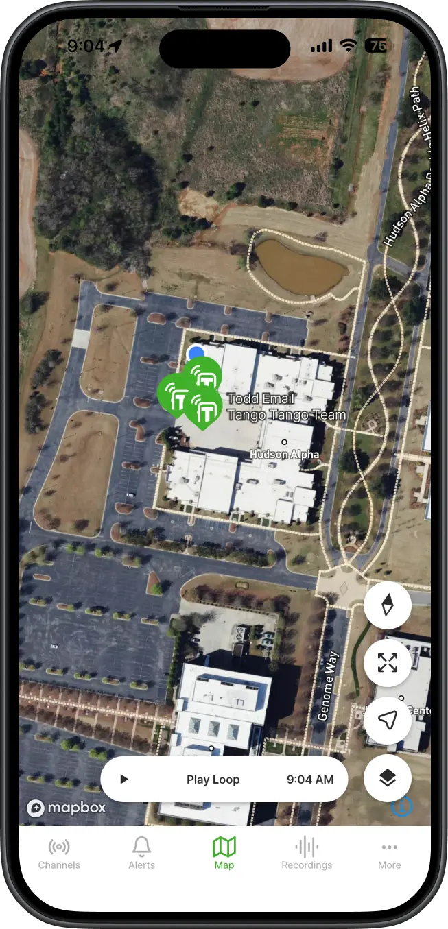
Customizing your map
Tap the square icon in the bottom right corner of the map to open the Map Layers menu.
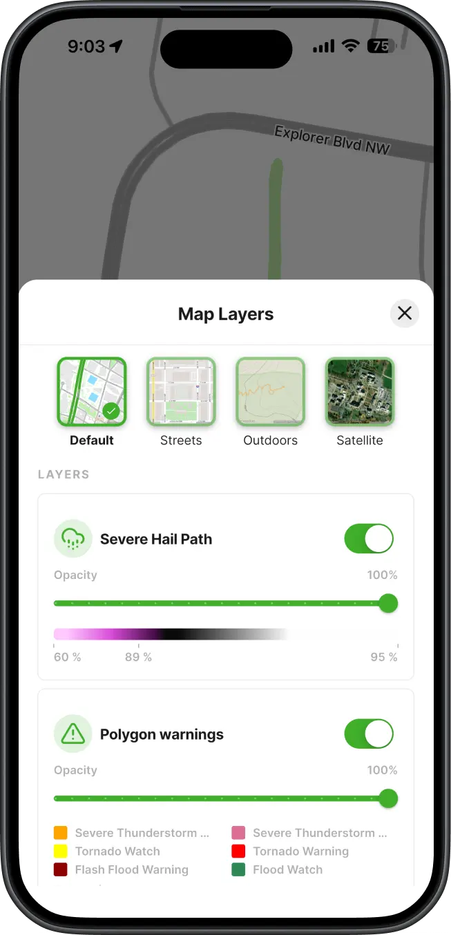
Base map. Choose the map style that fits your situation:
Layers. Below the base map options, you'll see the layers available to your organization, such as weather and fire hydrants. For each layer you can:
Don't see hydrants or other points of interest?
If your organization hasn't uploaded them yet, an Admin can add those locations at no cost. They can start with our Bulk Upload guide to learn how to upload geoJSON or shapefiles or CSVs to the Tango Tango map. Contact support@tangotango.net to get started.